Departments » Инженерная геодезия, маркшейдерская работа и картография
The Department of "Engineering Geodesy, Mine Surveying and Cartography" arose in 1973 and was established as "Engineering Geodesy and Soil Mechanics". The department was headed by Candidate of Technical Sciences Tokhirov Inom Gafurovich, now Doctor of Technical Sciences. In this form, the department functioned until 1984.
In March 1984, as a result of improving the structure of the faculty, the Department of Building Materials and Engineering Geodesy was created under the leadership of Associate Professor Sharipov Abdumumin, which functioned until 1985. In 1985-1986, the department was renamed into "Automobile roads and engineering geodesy", which was headed by associate professor V.I. Myastovsky.
In 1987, an independent department "Engineering Geodesy" was created, which was initiated and headed by Associate Professor Davlatov Nozirjon. He was the first candidate of geodetic sciences among local specialists. From 1988 to 1997 he worked as the head of the department of engineering geodesy, associate professor Jalilov Tokhir Fayzievich. It should be noted that until 1995 the department operated in all its forms in an educational building located at 9 km of the Dushanbe-Vahdat highway.
In 2005-2009, 2016-2018, the department was headed by Associate Professor Muniev J.D., 2001-2005, 2009-2016 - Associate Professor Jalilov T.F. and from 2018-2021. Associate Professor Niyozov A.S.
On the direct initiative of the President of the Republic of Tajikistan, Emomali Rahmon, on November 30, 2012, at the opening ceremony of a new facility of the State Committee for Land Management and Geodesy of the Republic of Tajikistan, the heads of relevant ministries and departments were instructed to open a new specialty "Geodesy and Cartography".
In 2013, with the opening of the specialty "Engineering Geodesy", the department was renamed into "Engineering Geodesy and Cartography".
In accordance with the action plan for the implementation of this order dated December 7, 2012, the Faculty of Construction and Architecture at the Technical University of Tajikistan at the Department of Engineering Geodesy in the 2013/2014 academic year opened the specialty 1 - 560202 - "Geodesy and Cartography".
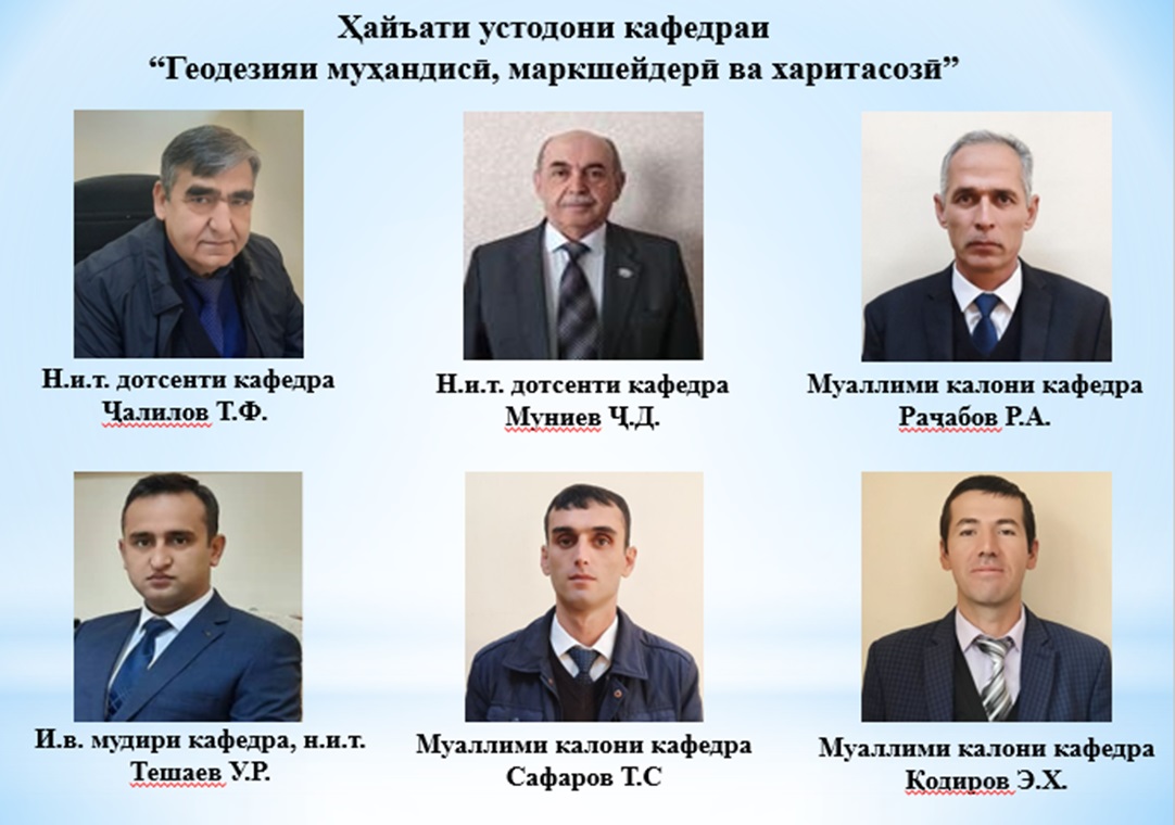
In 2021, the Department of Engineering Geodesy and Cartography was renamed into Engineering Geodesy, Mine Surveying and Cartography. From September 1, 2021, the head of the department is Teshaev Umarzhon Riyozidinovich, candidate of technical sciences.
To date, the department has scientific and methodological relations with universities in the cities of the Commonwealth of Independent States (CIS) - MIIGAIK, MADI (TU), MGSU (MISI), KISI and with universities in Central Asia.
On a republican scale, the department cooperates with the Ministry of Transport, the State Committee for Land Management and Geodesy of the Republic of Tatarstan, the Cartography factory, design institutes - Shakhrofar (Giprostroy), GINTIZ, Giprotrans and other research companies and institutions.
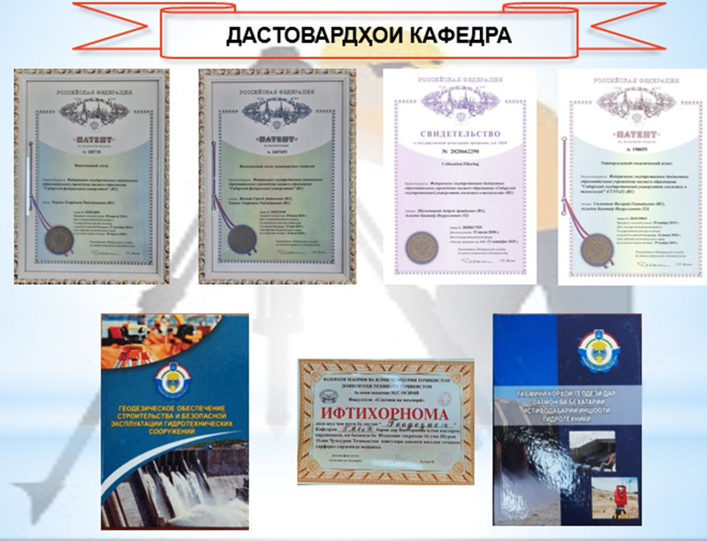
The department has a scientific and pedagogical potential, a base of modern technical materials and a great potential for the training of highly qualified personnel.
The department works in the specialty 1 - 56 02 02 - "Geodesy and Cartography".
The department has 6 teachers, including two n.i.t. associate professor, one n.i.t., assistant, three senior lecturers.
Departments
- Ҳаракатдиҳандаҳои автоматикунонидашудаи электрикӣ ва мошинаҳои электрикӣ
- Электроснабжение
- Электрические станции
- Relay Protection and Automation of Energy Systems
- Экономика и управление на производстве
- 123
- Теоретические основы радио и электротехника
- Физика
- Производственный менеджмент
- Общая и неорганическая химия
- Технология химического производства
- Metallurgy
- Life Safety and Ecology
- DEPARTMENT OF MECHANICAL ENGINEERING TECHNOLOGIES, METAL-CUTTING MACHINES AND TOOLS
- Material science, metallurgical machines and equipment
- TECHNOLOGY, MACHINES AND EQUIPMENT OF PRINTING PRODUCTION
- Department of Natural Fibre Processing Technology
- DEPARTMENT OF ENGINEERING AND COMPUTER GRAPHICS
- METROLOGY, STANDARDIZATION AND CERTIFICATION TECHNICAL DIAGNOSIS
- Operation of Road Transport
- Technical operation of air and rail transport
- Parts of Machines and Construction Road Machines
- Energy processing and oil and gas services
- Construction of roads, structures and transport communications
- Экономика и транспортная логистика
- Организация перевозок и управление на транспорте
- Физическое воспитание
- Architecture and urban planning
- Дизайни муҳити меъморӣ ва тармим
- Architecture of buildings and structures
- Industrial and civil construction
- Инженерная геодезия, маркшейдерская работа и картография
- Масолеҳҳо, технология ва ташкили сохтмон
- Системаҳои таъмини об, газу гармӣ ва ҳавотозакунӣ
- Foundations, fundamentals and underground structures
- Иншооти гидротехникӣ ва ҳифзи захираҳои обӣ
- Department of Economics and Management in Construction
- DEPARTMENT OF AUTOMATED CONTROL SYSTEMS
- Automation of technological processes and production
- Сети связи и коммутационные системы
- Department of Information Technology and Information Protection
- Информатика и вычислительная техника
- The chair of Higher Mathematics
- Гуманитарные науки
- department of languages
Partners